Construction · Site monitoring
Construction and site monitoring
A clear visual record of your site, from above — repeatable, and ready when you need it.
Repeatable drone flights give you an accurate, time-stamped record of a site: what changed, how much material moved, and how conditions look right now. Useful for progress reporting, planning, and documentation across the life of a project.
What we deliver
- Progress orthomosaics and visual timelines
- Stockpile and earthwork tracking
- Inspection and documentation imagery
- Repeat flights on a schedule that suits the job
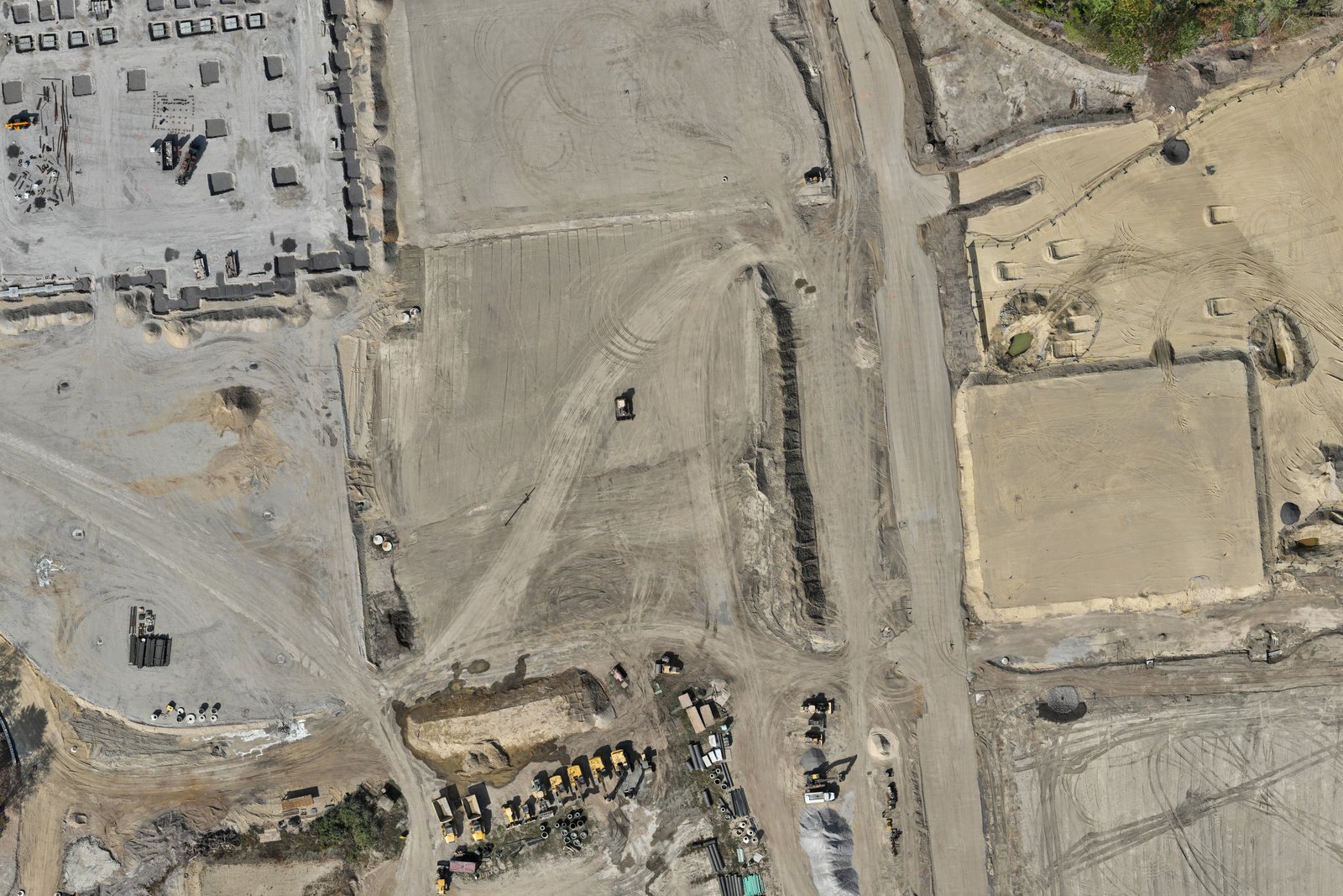
Built for planning and progress tracking
Our deliverables are for planning, monitoring, and documentation. Legal surveys and boundary deliverables require a Maine-licensed professional land surveyor.
Pricing
General mapping has fixed starting prices, with escalations based on size and the time required for prep, flight, and processing. Everything else is scoped from a short discovery conversation.
Every project starts with a conversation
Tell us about your site and goals; pricing follows once we understand what will actually help.