Agriculture
Precision aerial data for farms
Mapping and multispectral analytics for Maine orchards, Christmas tree farms and specialty crops, turned into clear maps and numbers for the decisions you make on your farm.
We fly advanced drones with mapping and multispectral sensing, and process each flight with state-of-the-art software and expert routines, to deliver the best information possible for your on-farm decisions.
Choose your crop
Orchards
MaineOrchard™: bloom density tree by tree, vigor across the season, and tree counts by row and variety, compared flight to flight.
Christmas Tree Farms
FirSight™: tree counts, replant maps and size inventories at the turning points of your growing year.
Specialty Crops
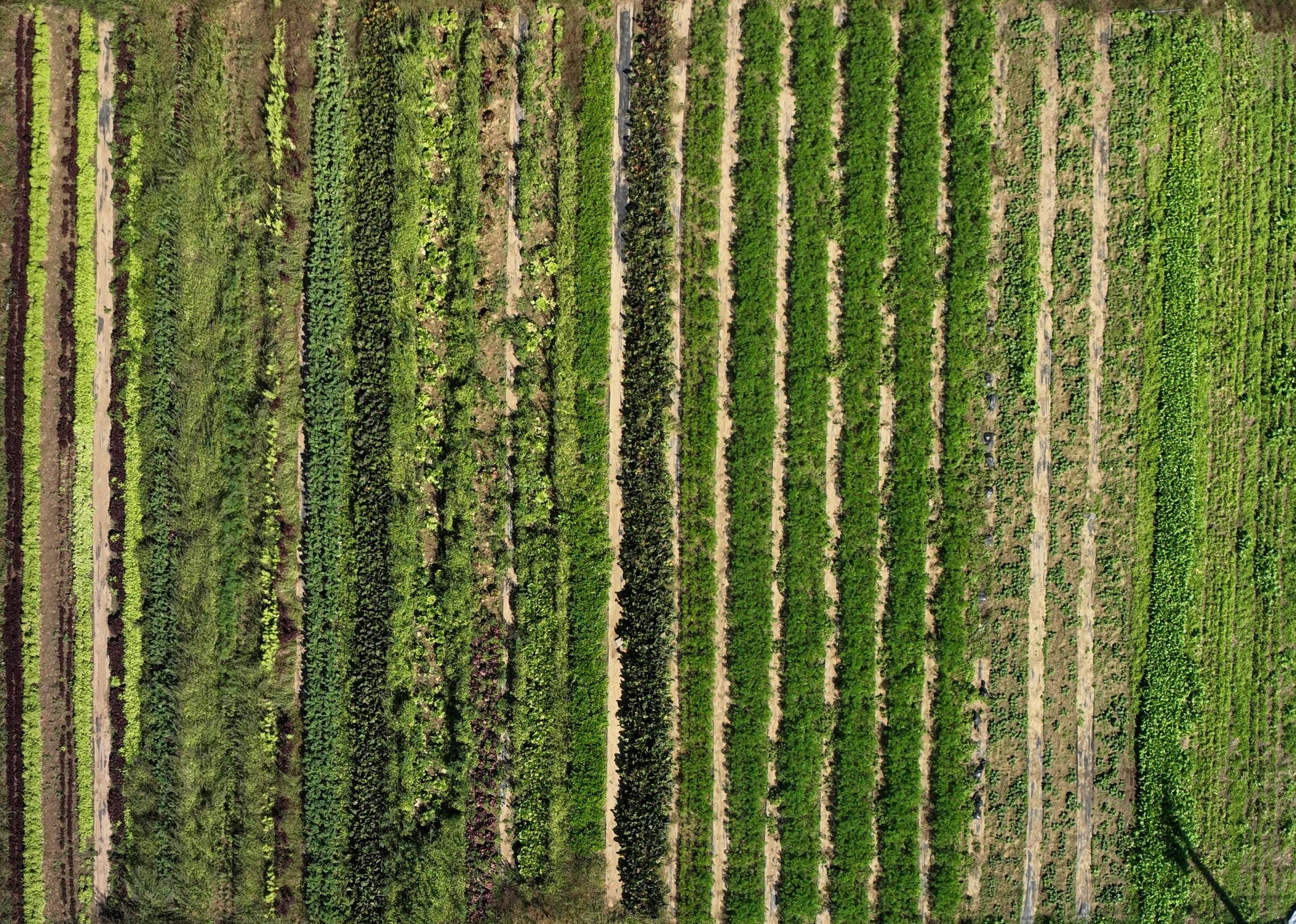
RowSight™: highbush blueberries, strawberries, vegetables and sweet corn, mapped at the points in the season that matter.
Your grower portal
Each farm we fly gets a private web page: your own link, no account to remember. Slide between flights to compare the same block or field over time, through the season and from one year to the next. Zoom in to individual trees and rows, and print or download what you need. Review it all in the office, on a tablet or laptop, or even on your phone. It’s your data, available when and where you need it.
Pricing
General mapping has fixed starting prices, with escalations based on size and the time required for prep, flight, and processing. Everything else is scoped from a short discovery conversation.
Every project starts with a conversation
Tell us about your farm and goals; pricing follows once we understand what will actually help.