Agriculture · Specialty crops
RowSight™
Precision field data for berry, vegetable and sweet corn growers
Mapping and multispectral checks, timed to your crop’s season.
Berries, vegetables and sweet corn change quickly within a season. A few well-timed flights give you a current map of your fields and a record you can compare from one flight to the next, and from one year to the next.
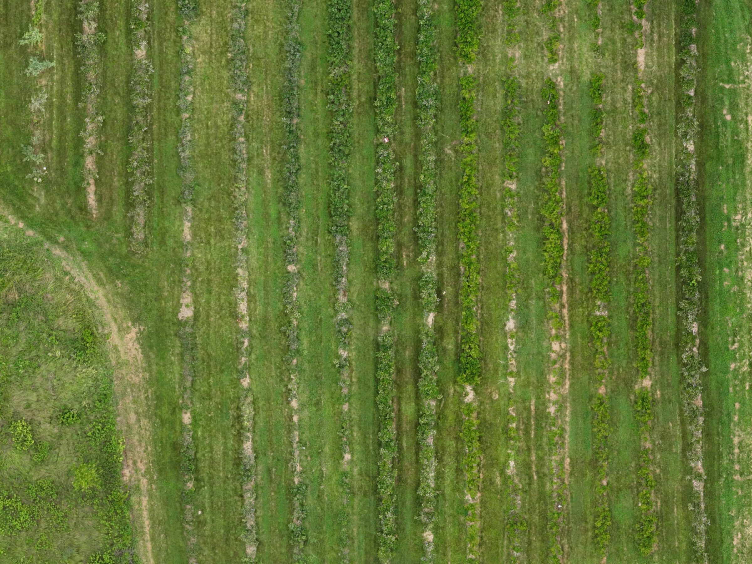
What we can map
- Field and planting maps: your fields, rows and beds laid out from the air, ready to print or to use on your phone.
- Bush counts by row in highbush plantings, with gaps marked.
- Health and vigor checks: plants under more stress than their neighbors, marked for your crew to check on the ground.
- Season-over-season change, each new map lined up on the last.
- Aerial stills and short clips for your farm’s posts.
When we fly
We time flights to your crop:
- Highbush blueberries: during bloom, in mid-summer, and after harvest.
- Strawberries: in spring once the mulch comes off, during fruiting, and after renovation.
- Vegetables and sweet corn: after emergence, and at mid-season.
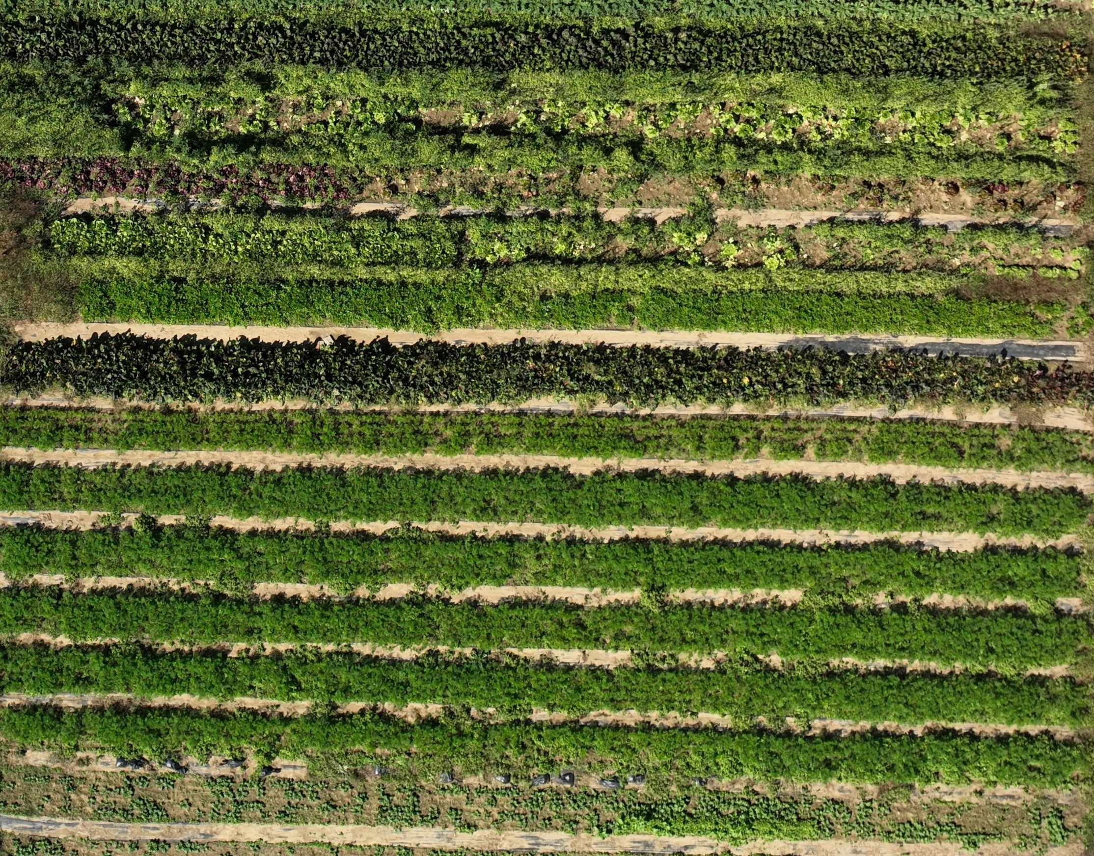
Your grower portal
Each farm gets a private web page, with every map of the season and a slider to compare the same block or field over time, through the season and from one year to the next. Review it all in the office, on a tablet or laptop, or even on your phone. It’s your data, available when and where you need it.
You also get a printed map of your farm for the barn or shop wall, and every map formatted for standard print sizes if you want more prints. At picking time we can give you a u-pick map for your customers on the farm.
Pricing
Pricing depends on your acreage and the flights in your season. Ask, and we’ll put one together for yours.
Every project starts with a conversation
Tell us about your farm and goals; pricing follows once we understand what will actually help.