Agriculture · Christmas tree farms
FirSight™
Precision stand data for Christmas tree growers
Your ground knowledge, sharpened by the full canopy picture.
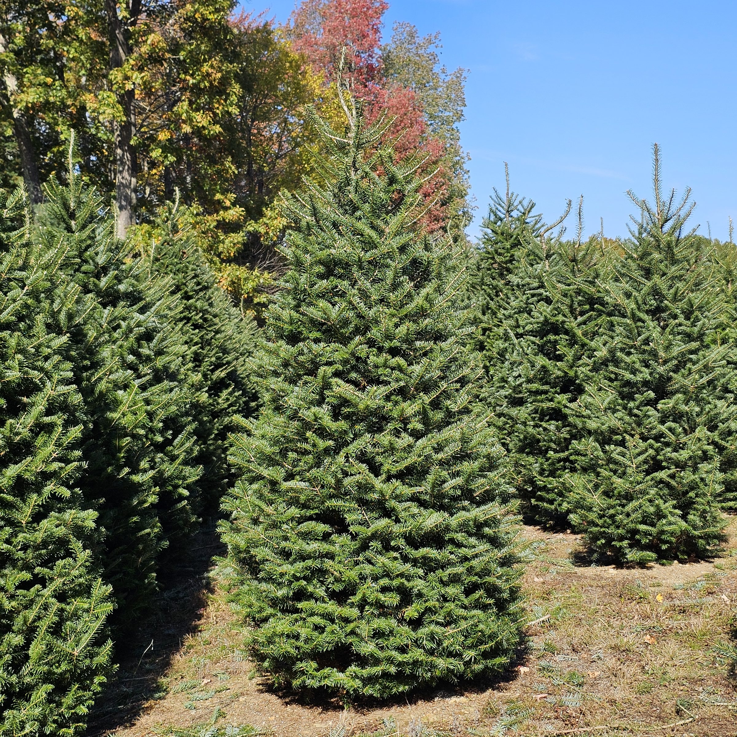
FirSight is a season-long program of aerial insight into your tree farm’s progress. At the turning points of the growing year, we fly your farm with precision-corrected GPS and turn each flight into block-level numbers: how many trees you have and where, which transplants need replacing, and how many trees are ready in each of your specific sale sizes.
You know your fields. FirSight adds precision, with trees counted and measured one by one; depth, with the full canopy picture and each new map lined up on the last, so you can follow your farm through the season and from year to year; and certainty, with numbers checked on the ground. The decisions stay yours: what to replant, which blocks to open, how to price. FirSight puts firmer numbers behind them. It also saves walking: the maps point your crew to where the work is.
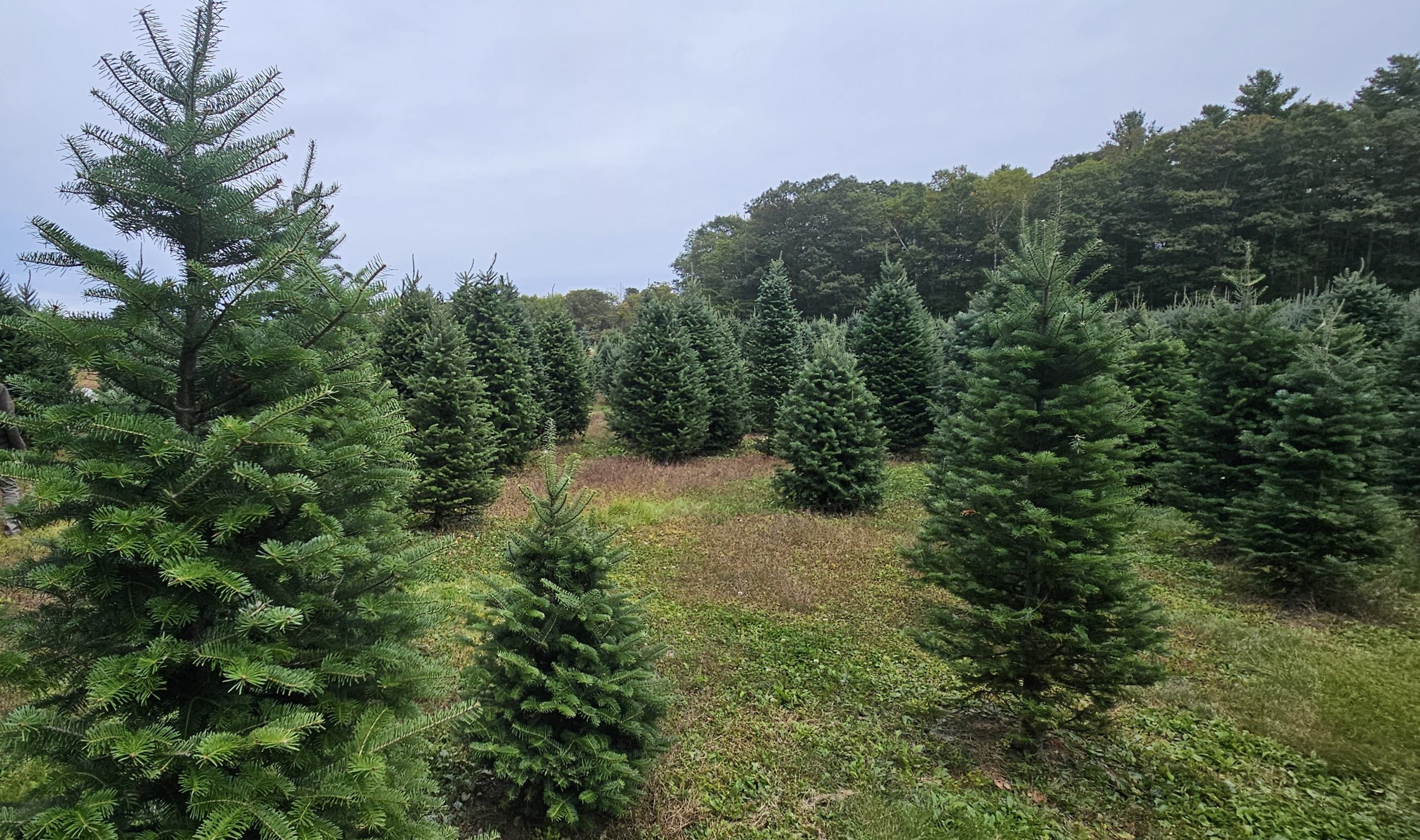
The FirSight year
- June, after planting and bud break: farm map and tree count. Your whole farm mapped, the trees counted block by block, and open planting spots marked in the older blocks. You’ll know what you have, where it stands and where the gaps are.
- Mid-summer, optional: health and vigor check. A quick flight with our multispectral imaging cameras shows which trees are under more stress than the trees around them. Insect damage, drought and nutrient shortfalls can all leave that kind of pattern, and we mark the spots for your crew to check on the ground. You’ll know where to look first: instead of walking every row hunting for trouble, your crew starts with the marked spots, saving time and labor.
- Late summer, before your replant order is due: replant map. A low flight over the young blocks you still replant finds, marks and counts the transplants that didn’t make it, with the drone’s own photos a click away to confirm, and we walk it with you. You’ll have the number to place or firm up your order, and your crew has a map to walk.
- October, after the trees stop growing and you’ve finished the summer’s shearing, and before you open: a detailed size inventory. Every tree the map can see, measured from the air and sorted into your own sale sizes, block by block, with spot checks against a tape on the ground. You’ll know how many are ready in each size, where they stand and what they’re worth at your prices.
- Also: a choose-and-cut map of a variety or a block, drawn from a map already flown, and, before you open, aerial stills and short clips for your season’s posts.
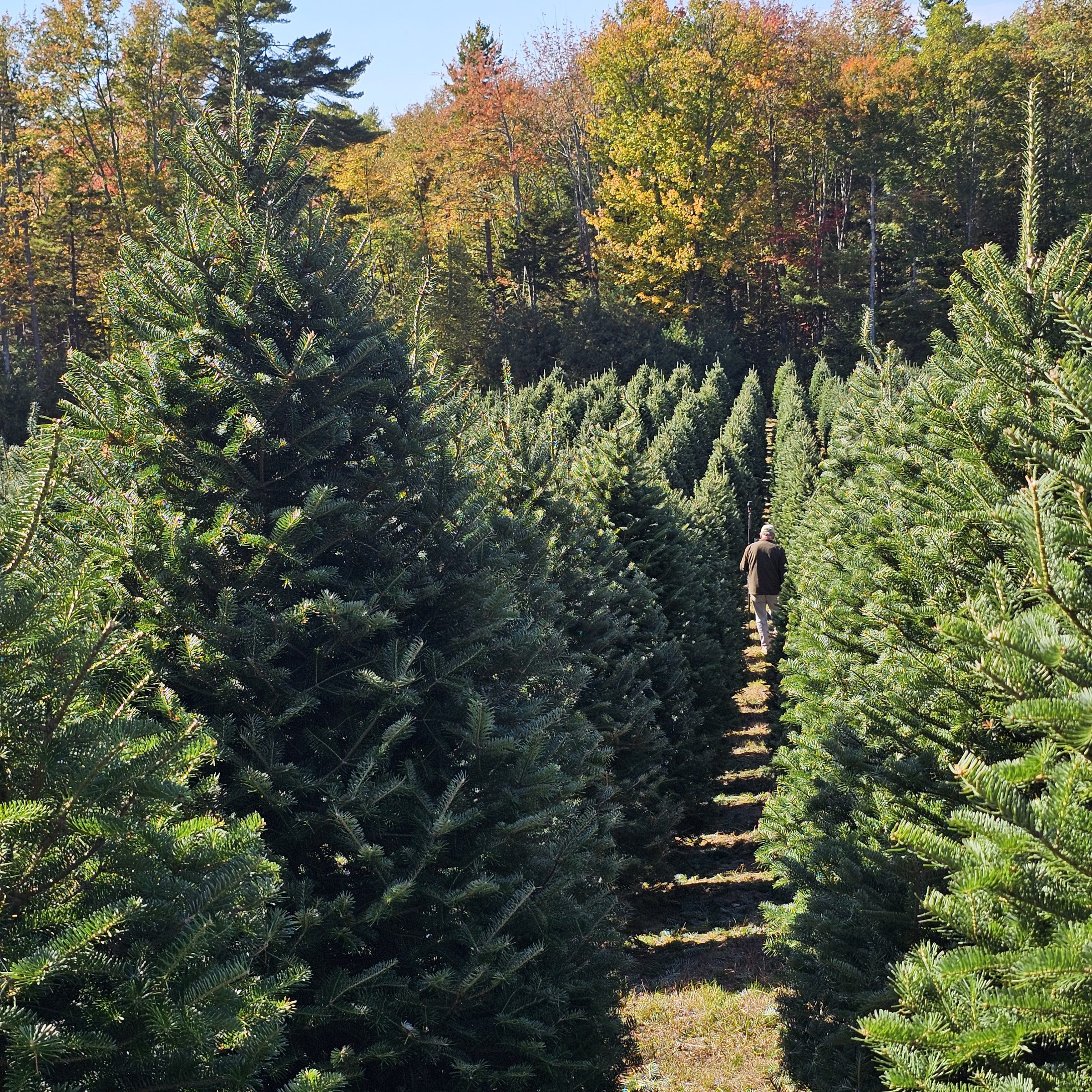
All year: your farm’s private web page, with every map of the season and a slider to compare the same block over time, through the season and from one year to the next. Review it all in the office, on a tablet or laptop, or even on your phone: it’s your data, available when and where you need it. You also get a printed map of your farm for the barn or shop wall, and every map formatted for standard print sizes if you want more prints; tree locations for your phone or computer; and every photo and clip.
Pricing depends on the flights in your farm’s year and its planted acreage. Ask, and we’ll put one together for yours.
Every project starts with a conversation
Tell us about your farm and goals; pricing follows once we understand what will actually help.